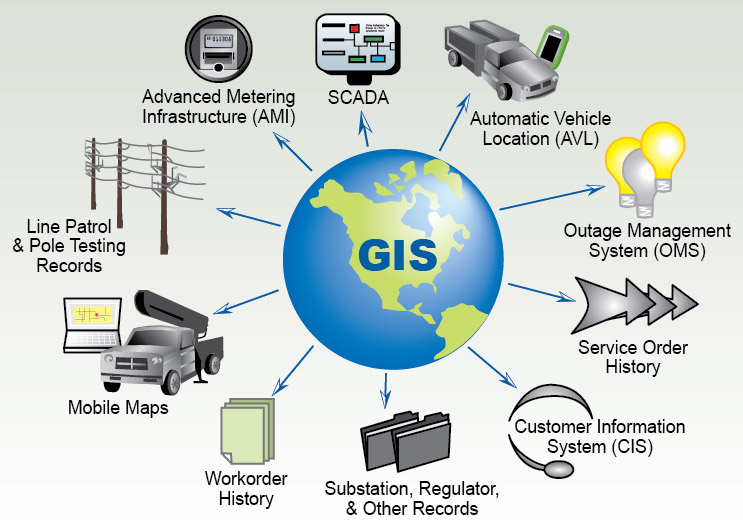
The GIS services rendered by JKR Consulting & Services allow our clients for the visualization of geographic data, analysis of spatial relationships and efficient data management. JKR Consulting and Services proficiently works on GIS data conversions and prepares electronic maps using Geographic Information Systems (GIS) technology by utilizing the data provided by the clients or collected by the team.
JKR Consulting and Services uses updated technology, research and innovation that are implemented by highly experienced and qualified staff to create maps. Our experienced team of engineers, geo-scientists and planners develops GIS products and systems, integrated with GPS, GIS and CAD. These services can be used for system design and architecture, management and maintenance, map production and analysis, database design and development, and 3D modelling and visualization for GIS mapping products and GIS remote sensing products.
Our services offered in GIS:
1. Utility Network Data capturing – Electrical field, Telecom sector, Gas pipe line
2. Topographic Map (Zoning & Contouring)
3. Zoning Map (Digitization)
4. Geological Map (Digitization)
5. Hydrogeological Map (Digitization)
6. Geomorphological Map
7. Ground Cadastral Map (Digitization, Grouping & Merging)
8. Forest Work Plan (digitization)
9. Mining Plan (Digitisation)
10. Mining Plan (General location and vicinity map showing area boundaries)
11. Digital Terrain Modeling
